An Historic Trail on Sleeping Giant
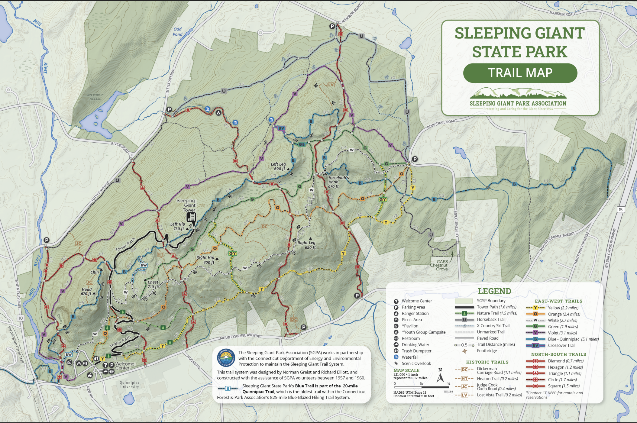
I have always loved hiking Sleeping Giant. Sleeping Giant State Park is in the Mount Carmel part of Hamden, Connecticut. When I was a kid we hiked the gravel “Tower Trail” from the picnic/parking area to the New Deal era Tower at the top. Sometimes we would try the Orange or the White or the really challenging Blue – always aimed at the tower.
The Giant
The Giant itself (himself?) is a group of east-west ridges (in territory where every other ridge is north-south – Hello Metacommet!). Native Americans thought it resembled a reclining giant (the head, chest, elbows, hips, knees, etc are named). Seems like a good description.
For years my grandmother’s extended family met one day in July each summer, in the picnic area. And talked. And ate. Under beautiful pines (white pines?) And some of us went to the Tower. A microburst in 2018 leveled all the pines (and did more damage across the Giant) – and so we switched to other locations.
Chestnut Lane – Eastern Access
A decade ago my mother’s extended family started doing “family fun days” – and the first – we met at the other side of the Giant (Chestnut Lane – on the northeastern side where the trails converge) and tried untested taking the White in (memorably harder than we anticipated, scrambling down Hezekiah’s Knob, awkwardly dangling between the Left Leg and the Right Leg), and the Orange out.
But I was hooked. Easy access to a bunch of trails that I had not hiked, or not hiked from that side. Lots of in-and-outs, different combinations of trails, easier and harder, with and without scrambles… all in lovely woods. When my sister comes to town (meaning, returns to the United States) the most likely time we spend together is hiking this end of Sleeping Giant, talking, climbing, chatting, and enjoying a very familiar outdoors.
No Hiking!
For the last three weeks I have been stuck off my feet. No Van Cortlandt Park. Two very tentative, very partial walks to benches in the New York Botanical Gardens. My daily 4½ – 6 miles has been down to zero on some days, averaging under a mile. The foot’s getting better. I am being slow, and careful, and following the podiatrist’s suggestions. I want to be back 100%. And I don’t want to delay the recovery by testing it out too soon.
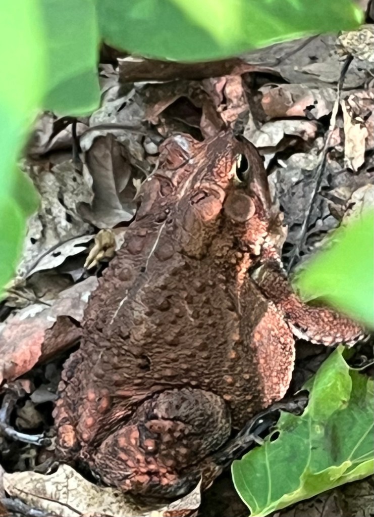
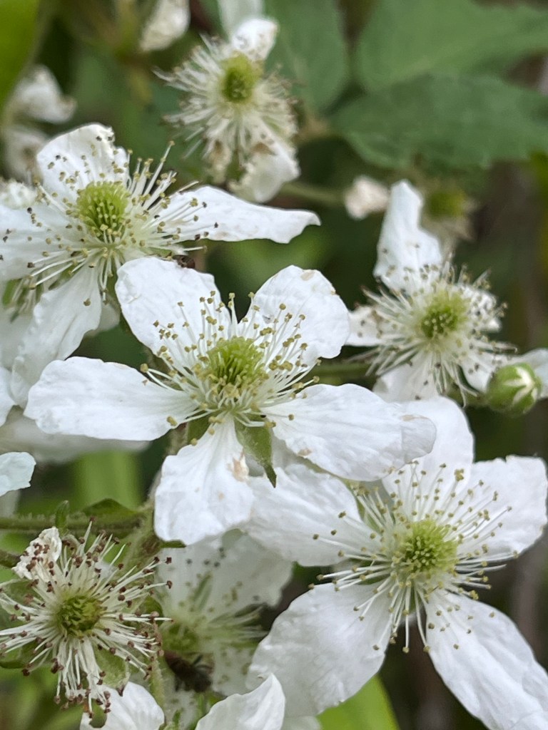
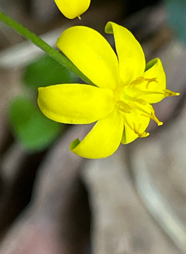
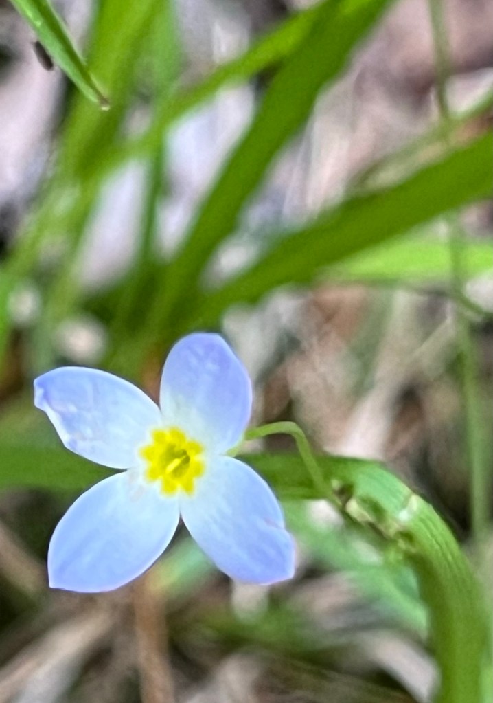
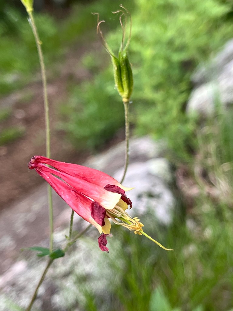
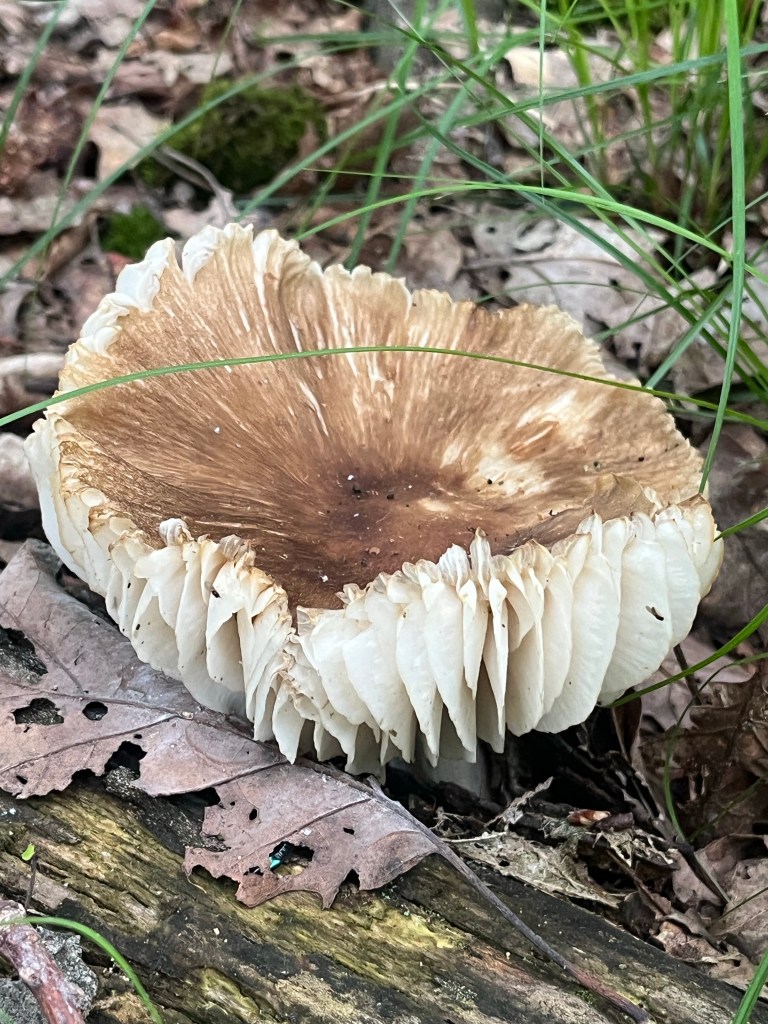
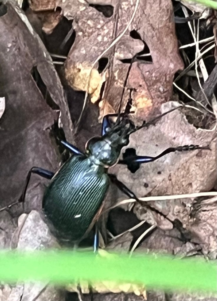
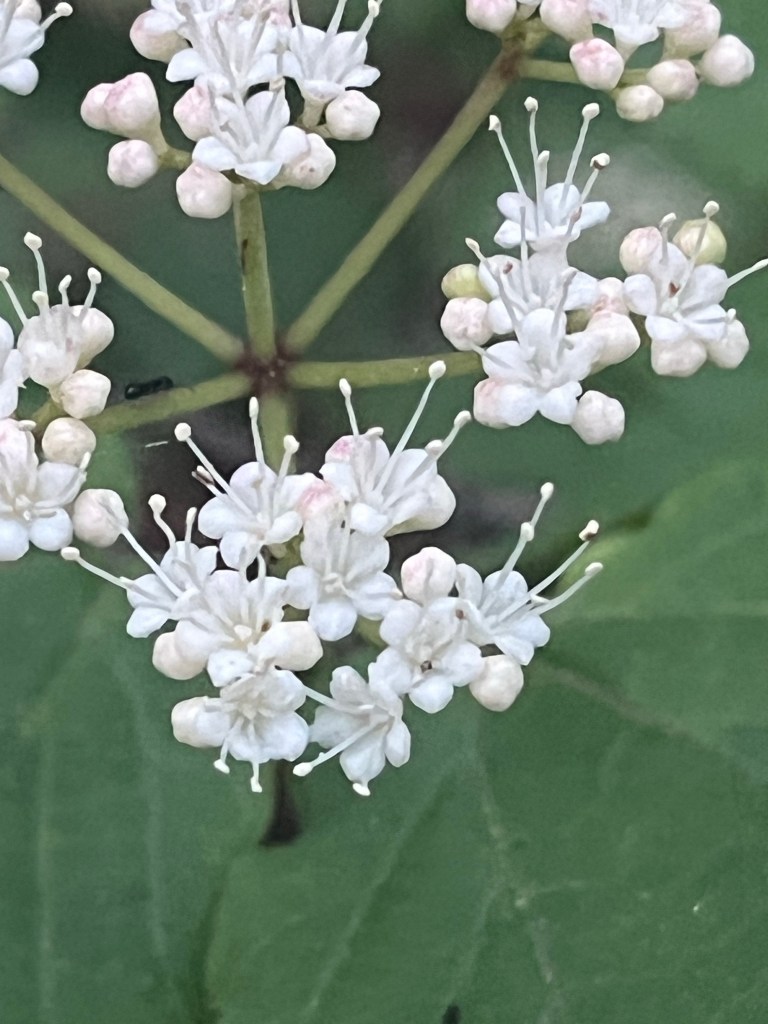
So if you’ve noticed no photos of flowers or buds or mushrooms or frogs or bees or just woods on Facebook over the last few weeks – that’s why. And yes, I hate it. I breathe better in the woods. They heal my lungs, and my mind. I enjoy taking the photos. And the exercise. And I just think better when I’m walking, especially in the woods.
Will I get back to the Gardens? This week, I’m certain. To Van Cortlandt? This week. Probably. To bigger hikes? Soon, I hope, I think. Maybe in two weeks. Oh, and if you want to join me, let me know. I nice group hike might be a great way to celebrate healing…
An Older Hike
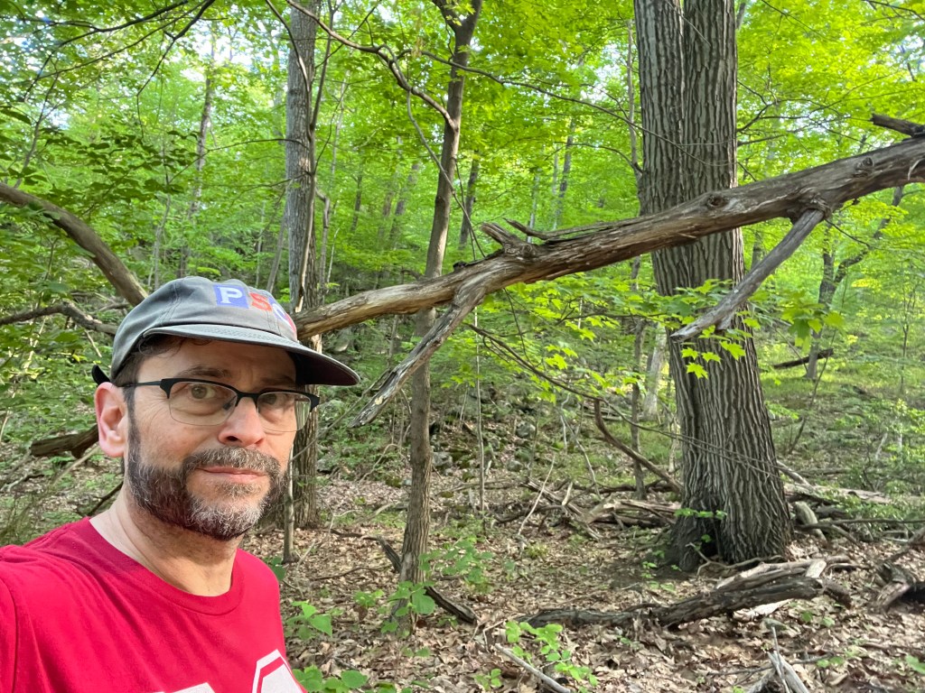
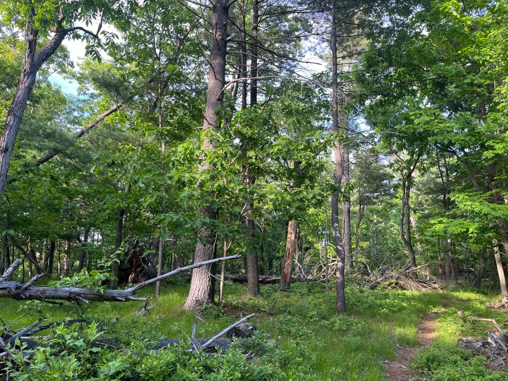
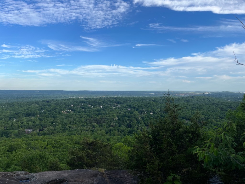
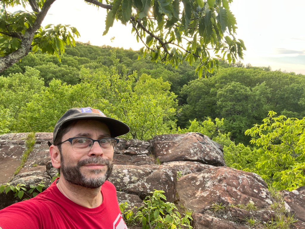
So let me share photos from a hike before my injury. One day at the end of May I was returning from Cambridge to the Bronx, not having hiked or really even walked that day. I realized the time, and my location. I could pull off the Wilbur Cross Parkway, get in an hour, an hour and a half on Sleeping Giant. Nothing too adventurous, not enough time.
I pulled into Chestnut Lane, stared at the map. And I picked the start of the route, mindful that I’d need to watch the time, and have multiple turnback points. I chose an Orange start, with the idea of moving south, towards Yellow. It’s one of the trails I’m on the least – flatter, a little easier.
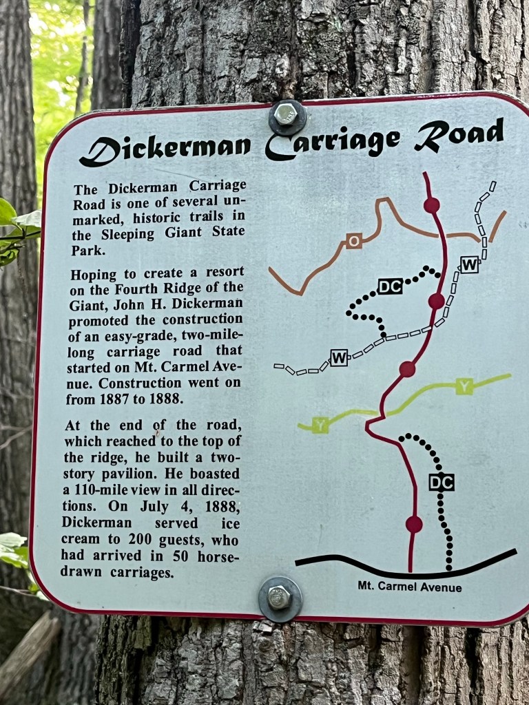
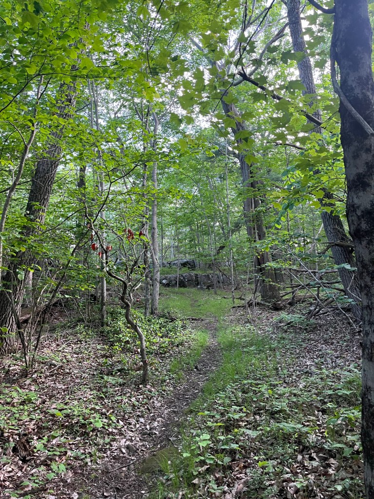
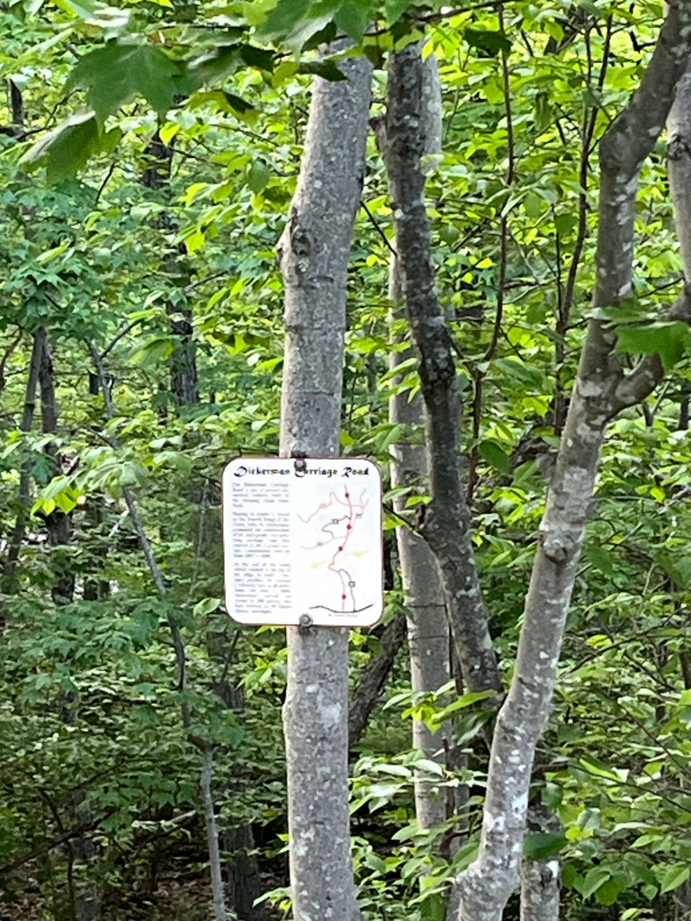
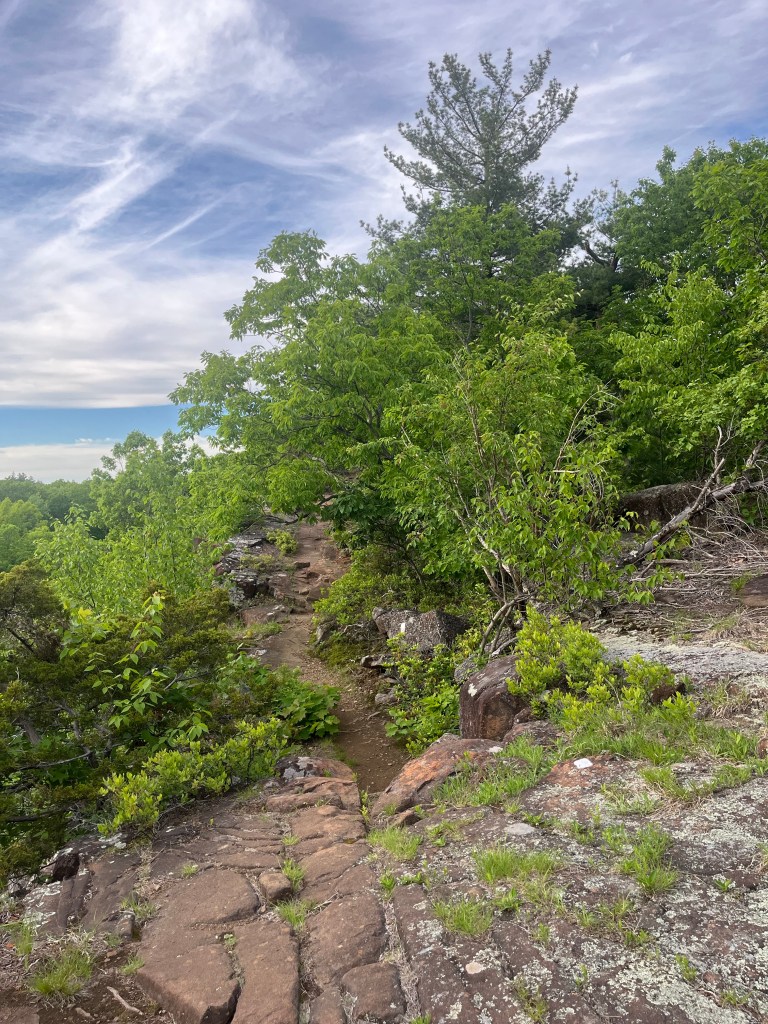
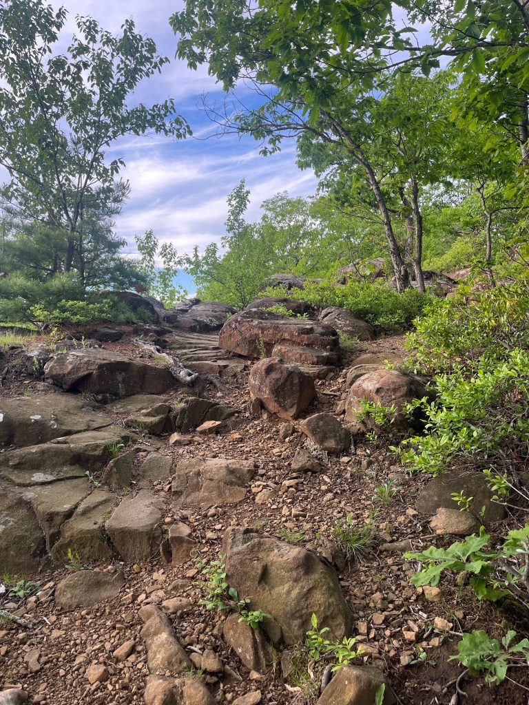
I chose Orange. Left on Yellow/Green. Right on Yellow. Passed a strange person. The bugs got thick. Yellow was flatter, and wetter, and buggier. At the next turnoff, Red Square, I went Red Square right. And then Orange, left. Crossed the White, and Red Circle, left. And here’s what was new. I took that DC trail, Dickerman Carriage Road, looped around it, exited on the White, and took it back to the parking area.
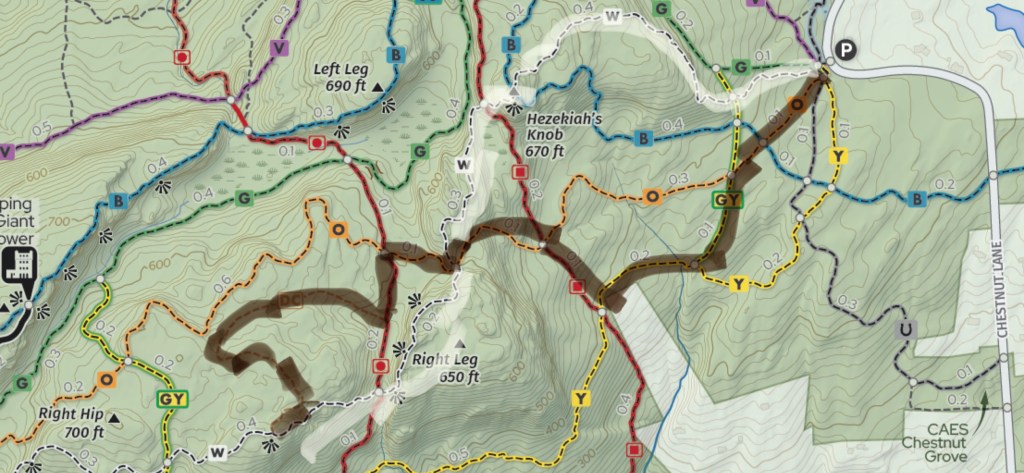
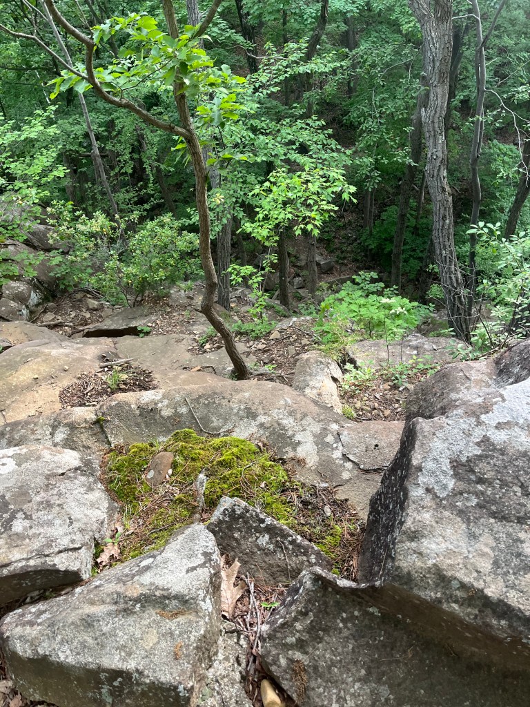
The Dickerman Carriage Road was neat. The photos don’t do it justice… different topography from the “regular” trails. A little flatter. A little leveler (but only a little). Different vegetation. More uncleared clearings. Just a slightly different feel. I’ll be back.
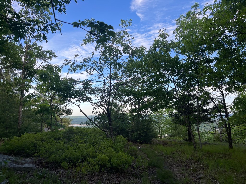
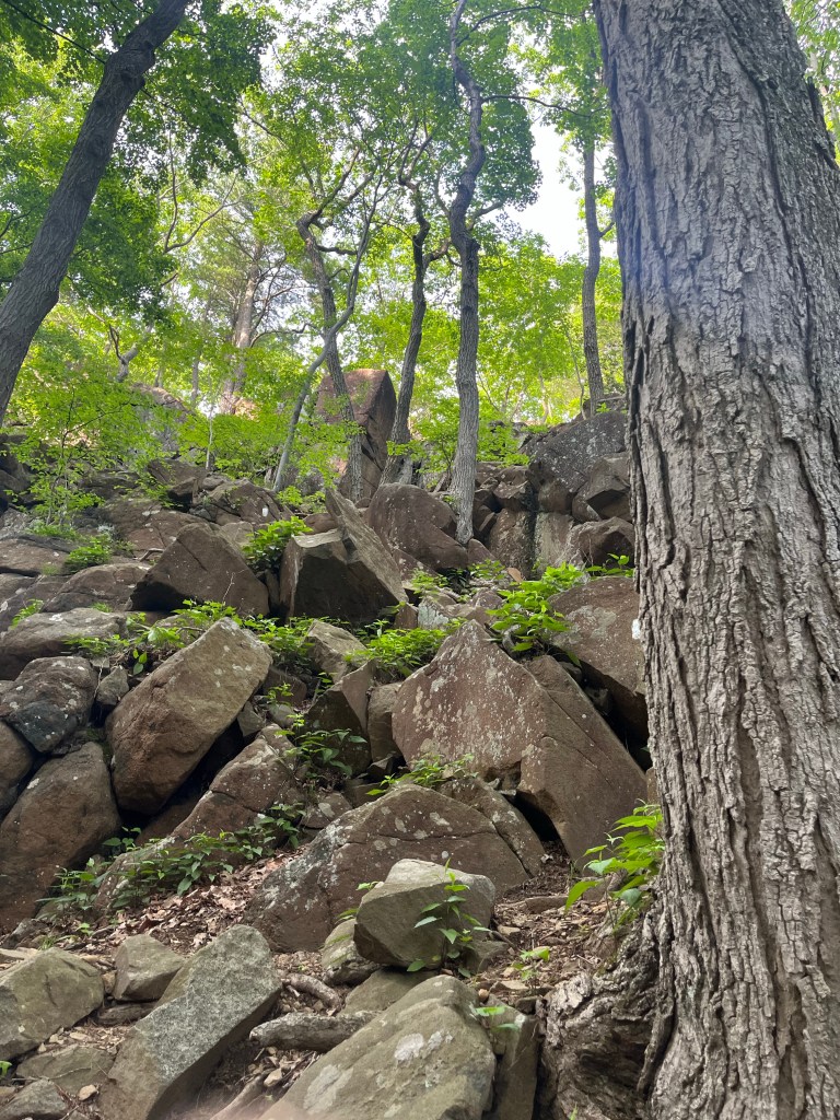
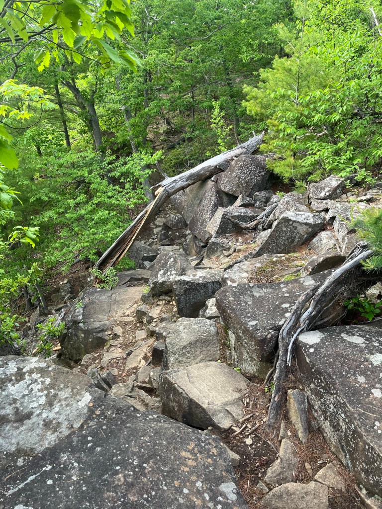
The White Trail back? Hmm. I was doing okay on time, but had not planned on a major scramble. When I realize I had chosen the trail back to Hezekiah’s knob… it was really too late. Of course I made it. But I was not expecting to need to focus so much so late in the day…
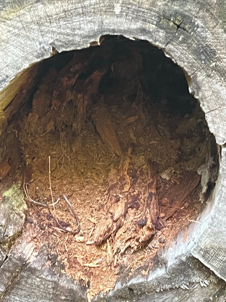
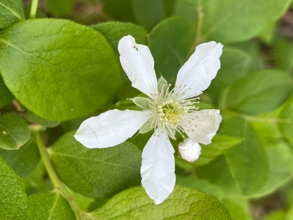
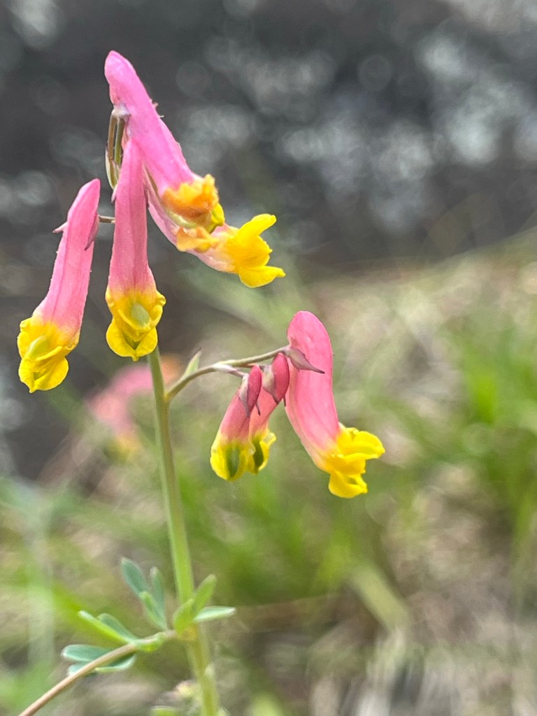
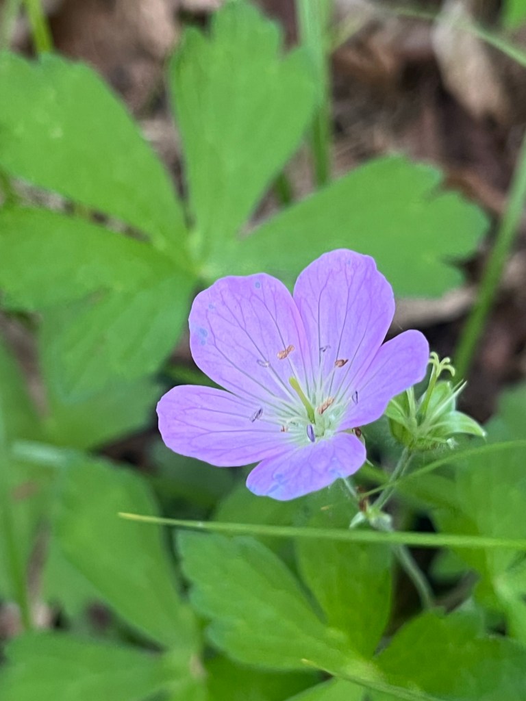
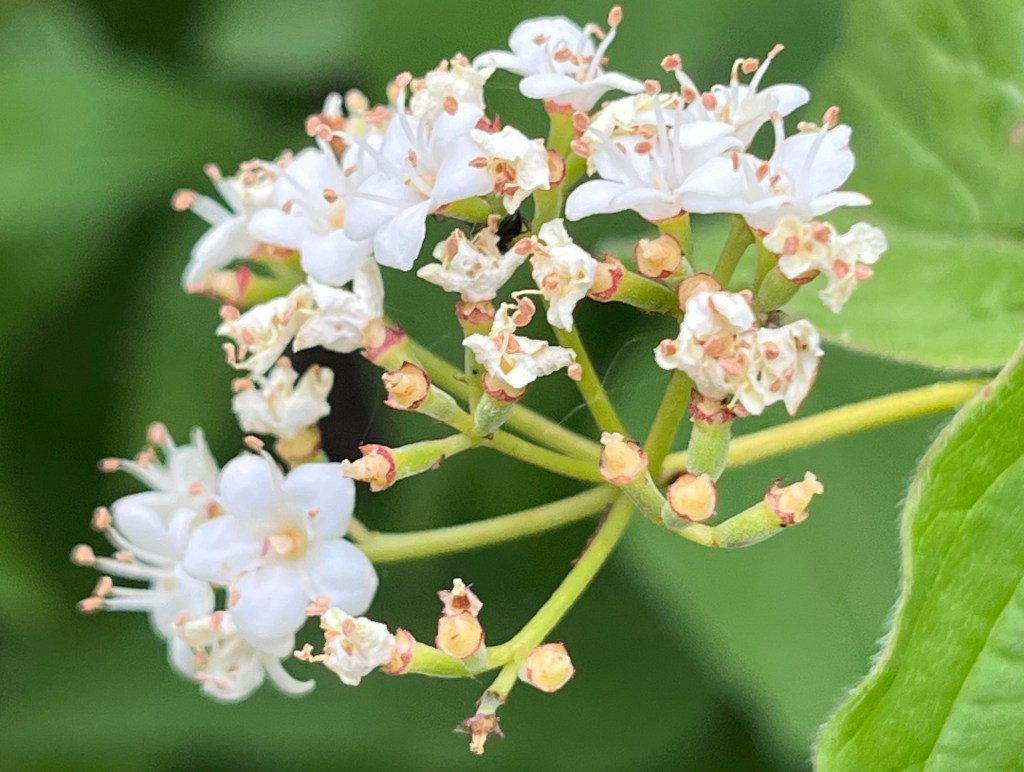
More Photos


Love the photos. Get better soon.