31 More Days in Kursk in Maps
From ISW (Institute for the Study of War). All the maps are at the same scale. One map every other day, from August 26 through September 21. The previous post was one map per day, August 7 through August 22. Those maps are at the bottom of this post.
These maps start all blue (territory in Russia where Ukrainian armed forces were present) – the yellow is where the Russian military has claimed to have advanced – the red is where ISW (an anti-Russian military think tank) confirms that the Russian military has advanced.

Some of the spread of the blue may have been a bit misleading. The Ukrainian Armed Forces were using mobile groups that bypassed strongpoints and leapt ahead – it was not always the case that all of the blue was under their control. Nonetheless, by the end of the first week of September, Ukraine controlled an area within Russia about half the size of Rhode Island (I used an overestimate in my previous article). And since then we can see a slow but steady reconquest of these territories. This process is slower than the Ukrainian incursion.
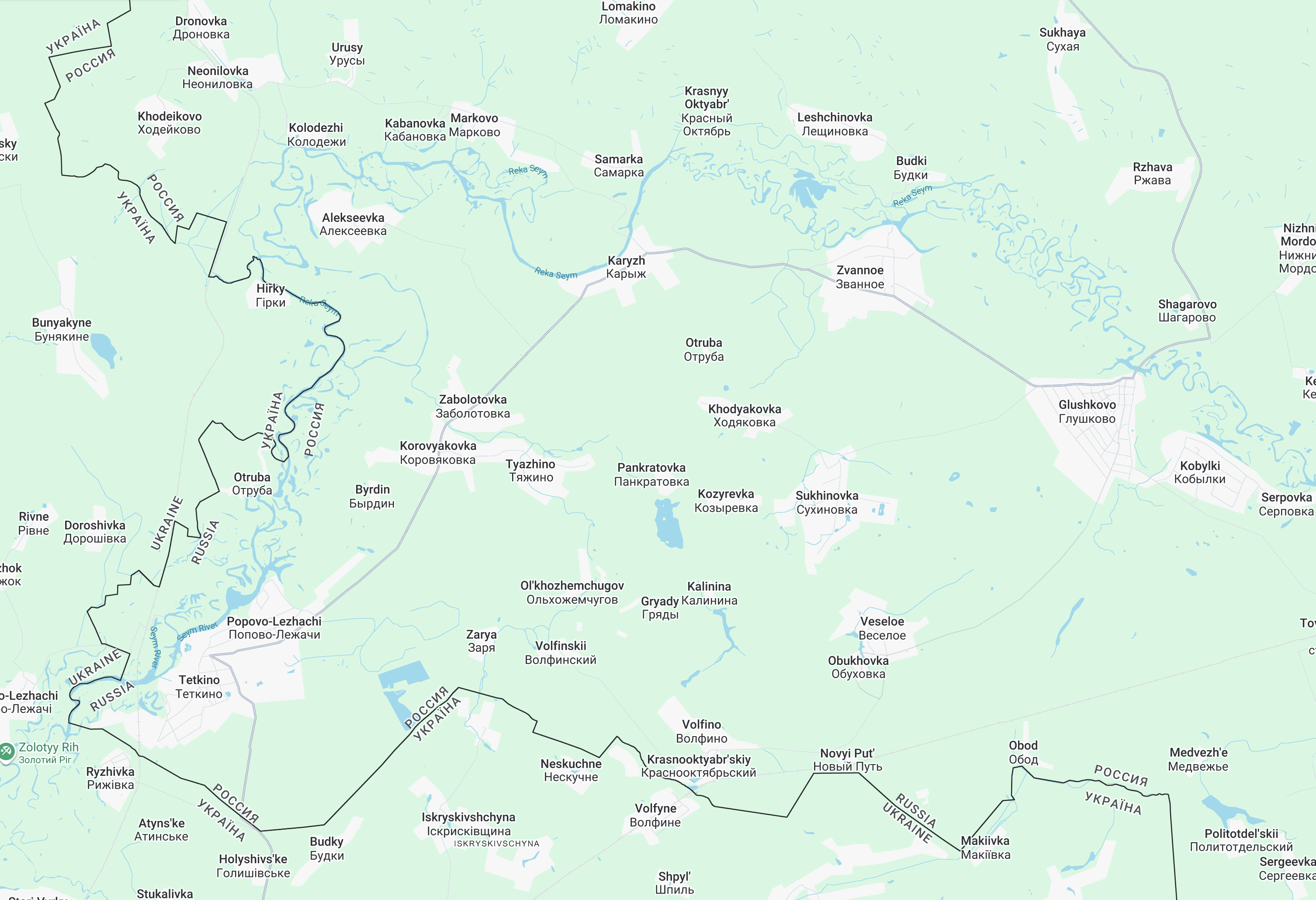
Two notes on the current situation. Off the map (but in an inset on the last five maps) is an area to the west, a bit of the Kursk Oblast that is cut off on one side by the Ukrainian border, and two sides by the River Seym. Ukraine is trying to cut off the fourth side by reaching Glushkovo (on the right of the map). After taking some settlements, they have stalled, but fierce fighting is occurring there now.
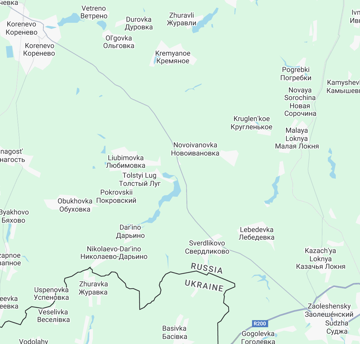
A second note – Looking (at the 16 maps) at what remains of the “blue” – it looks like a rectangle, on a slant. And the upper half of that rectangle is no longer adjacent to Ukrainian territory. If you examine the map below, find the “main” road that goes southeast (Sudzha) to northwest (Korenevo). Ukrainian soldiers are around the northwestern parts, but Russian forces are not far from threatening the middle of that major road.
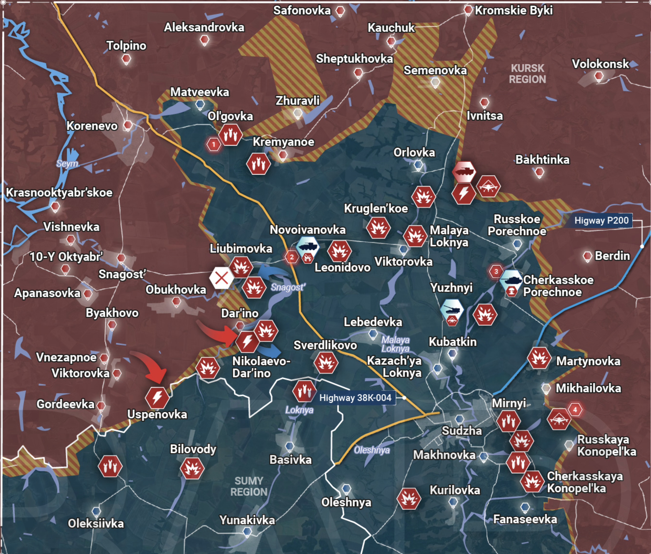
Here’s the same bit, different scale, as displayed by Rybar (his maps are a bit too complicated):
The Kursk incursion was probably a recognition that Ukraine cannot win a war of attrition. It got good press in the West. It harmed Russian morale. Shock value. But the territory taken – most will be lost. Ukraine does not seem to have the capacity to hold it. Zelensky mentioned a buffer zone – perhaps they can hold onto that much. But not likely enough to use as a major bargaining chip. If the goal was to force quick peace talks (I don’t think that’s so), it seems to have failed. Ukraine did draw tens of thousands of Russian troops to the region – but the Russian Armed Forces did not draw men away from its main lines of attack in Lugansk and Donetsk, where offensive action has continued unabated. The attack shook up the Russians, but it also shook up Ukraine’s government.
Something clear, the value of individual towns in Donbas – to both sides – is greater than the value of groups of towns in Kursk. The Ukrainian attack did not draw Russian forces. They stayed in Donetsk. There is more population. There is more industry. Both sides value it. And as “big” as the region is, its only a fraction (lower left) of Kursk (light-colored region, which is itself small within Russia:

Let me close by repeating my close from last time:
I have been reading a lot about this war. I hate this war. I hate the killing and destruction. I hate the loss of life. And I am fascinated by, and absolutely terrified of, the massive use of drones – observation, loitering munitions (essentially flying bombs), heat sensing… But while I hate this war, I read a lot about it, mostly, and ironically, from two deeply pro-war sources – ISW is one of them (I only reluctantly linked, and that’s because I used their maps), and one of the Russian milibloggers (military bloggers), the Fisherman (Rybar, Рыбарь), is the other.
That’s it. I wish this would end. But in the meantime, I pay attention.
August 7 – August 22:


